The National Weather Service has issued a winter-weather advisory in effect from 6 p.m. Thursday to 9 a.m. Friday. A “potent” winter storm will move across much of much of the Chicago metro area, then finally across eastern Illinois and northwest Indiana after midnight.
Heavy snow is predicted along Interstate 80 occurring during the evening and early morning hours, possibly including “thunder snow.” Only a few inches of accumulation is expected south of I80, including northwest Indiana. Visibility may decrease to one-quarter mile of less during the heaviest snow.
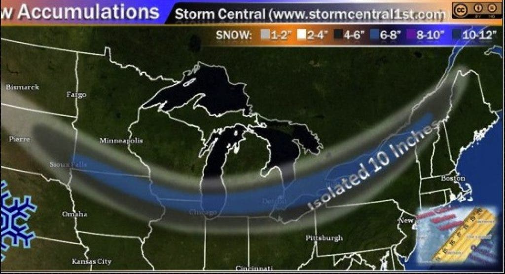
WGN’s chief meteorologist Tom Skilling has dubbed the fast-moving Canadian system a “Saskatchewan screamer” and says snow accumulation in some areas of the Chicago region may be the heaviest of the season.
Find out what's happening in Oak Lawnwith free, real-time updates from Patch.
The screamer—hailing from the Saskatchewan province of Canada—is likely to produce 5 to 7 inches, with the highest totals in the north and city. Skilling says some areas could see 9 inches.
Evening commuters are likely to miss the brunt of the storm, but check Patch’s live local traffic map to get latest rush hour reports.
Find out what's happening in Oak Lawnwith free, real-time updates from Patch.
Get more local news delivered straight to your inbox. Sign up for free Patch newsletters and alerts.